|
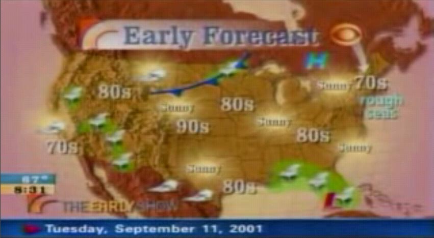
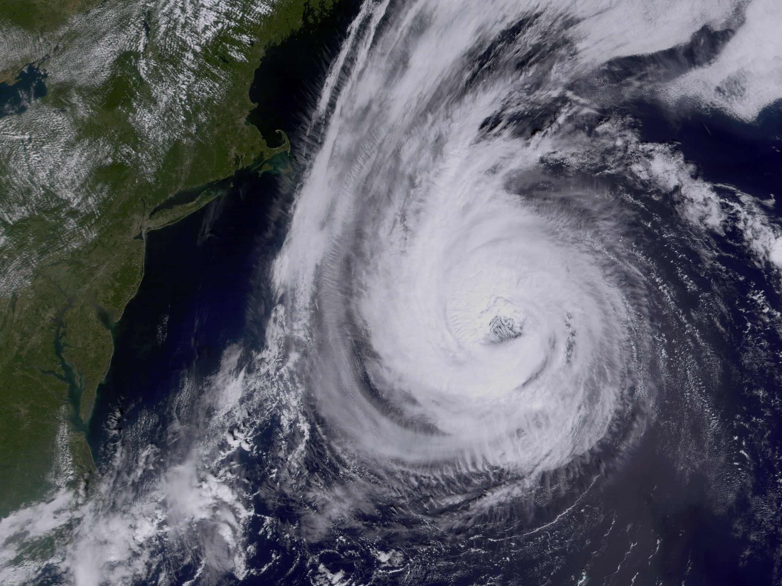
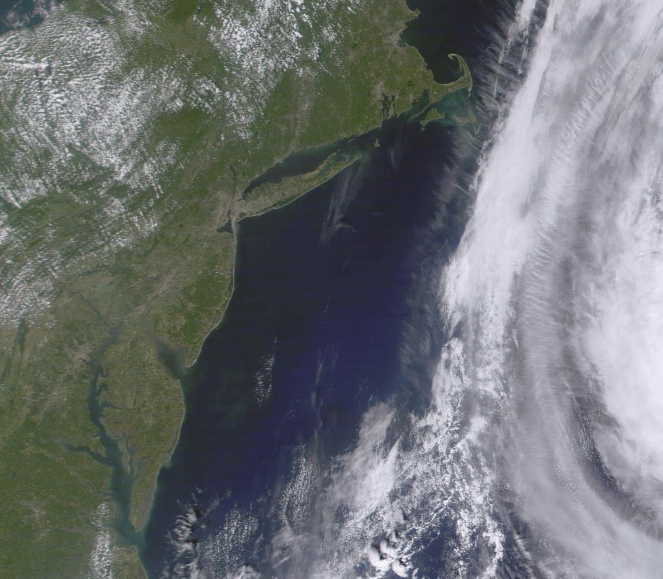
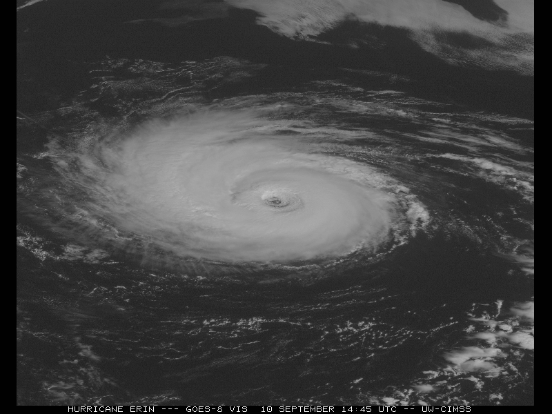
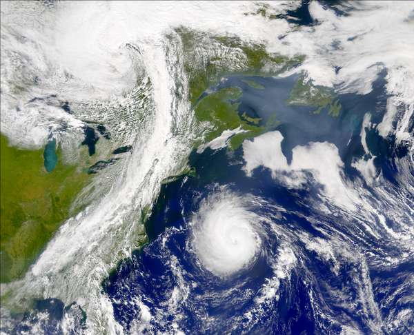
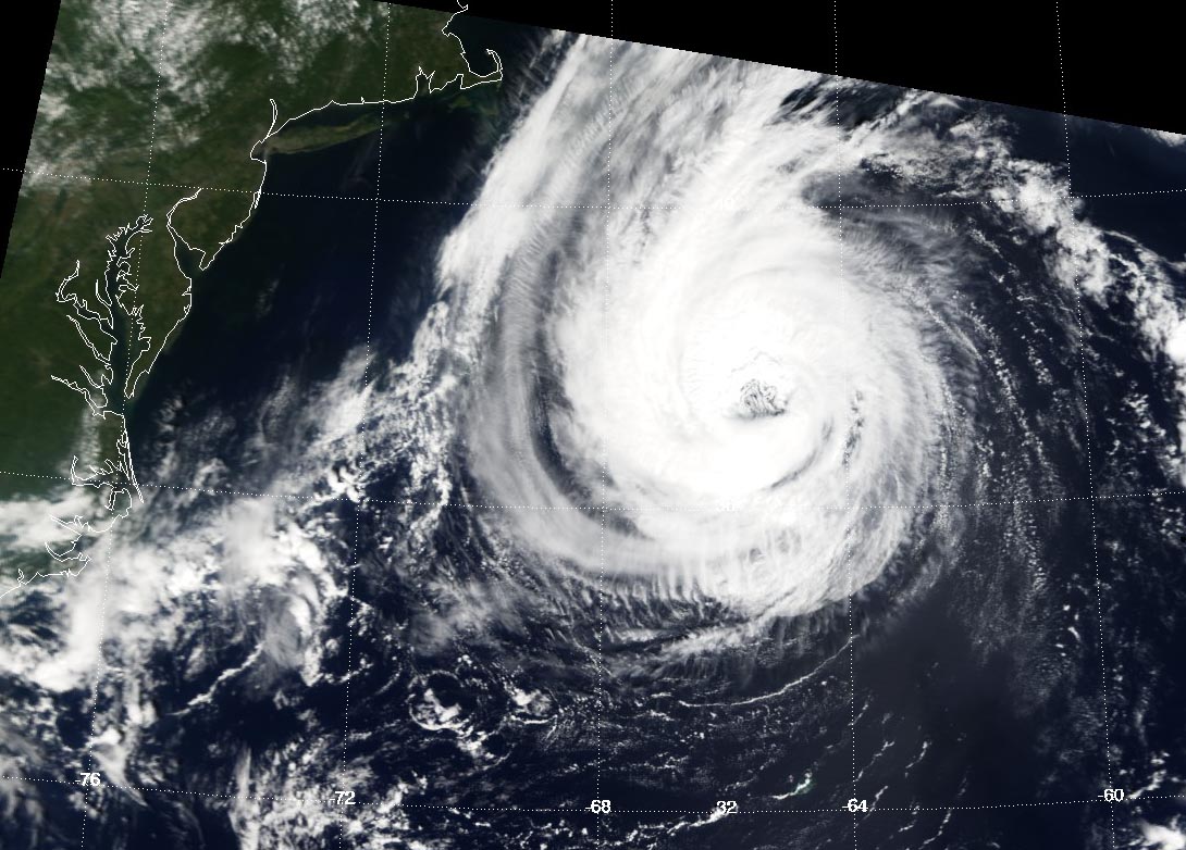
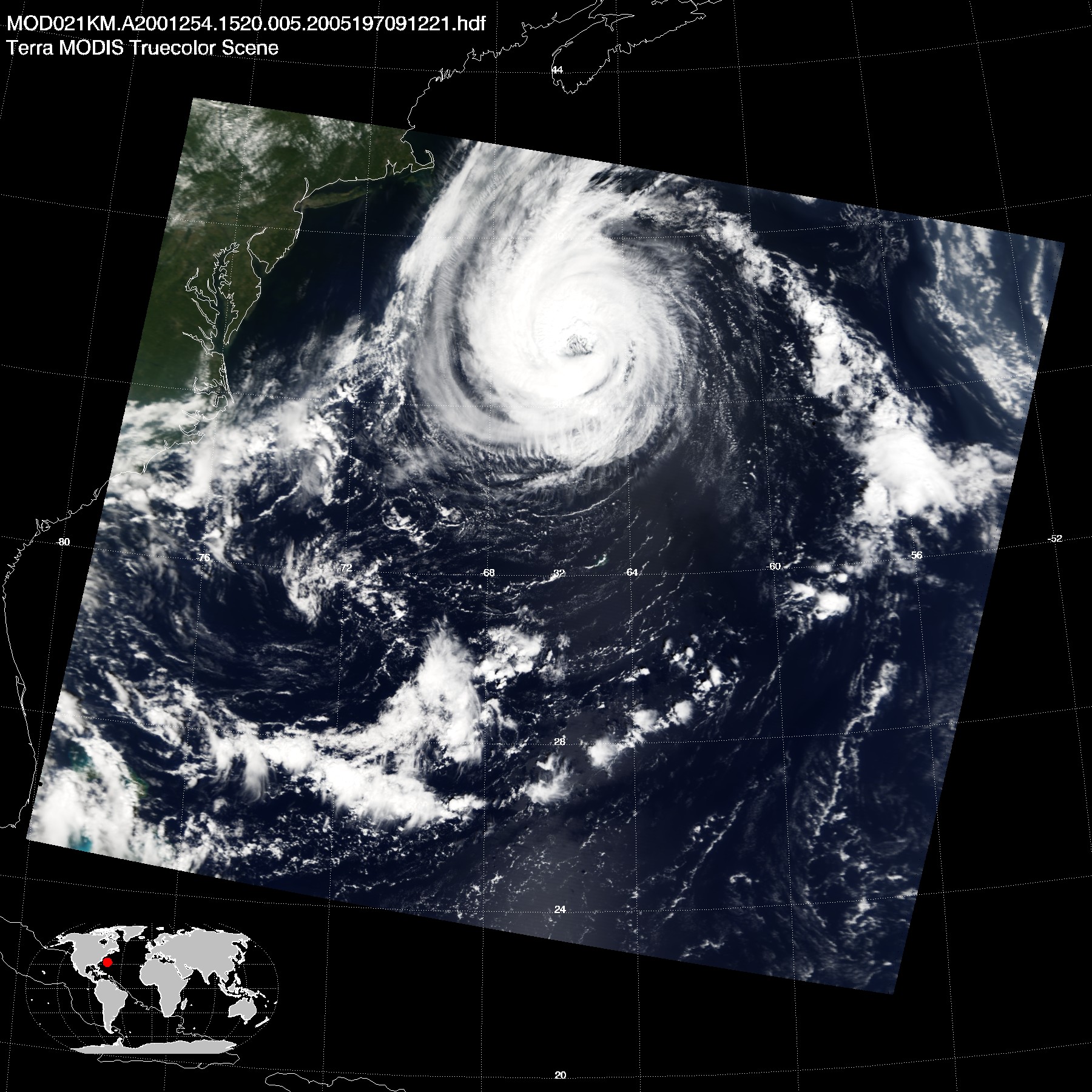
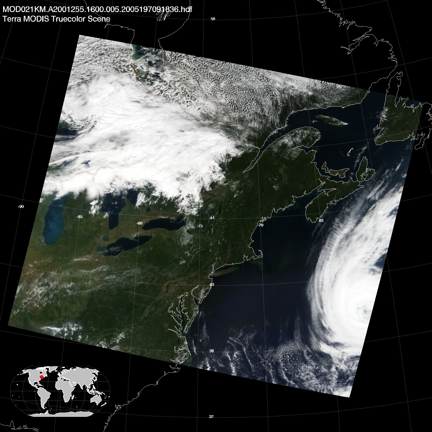
Hurricane Erin, September 11, 2001
|
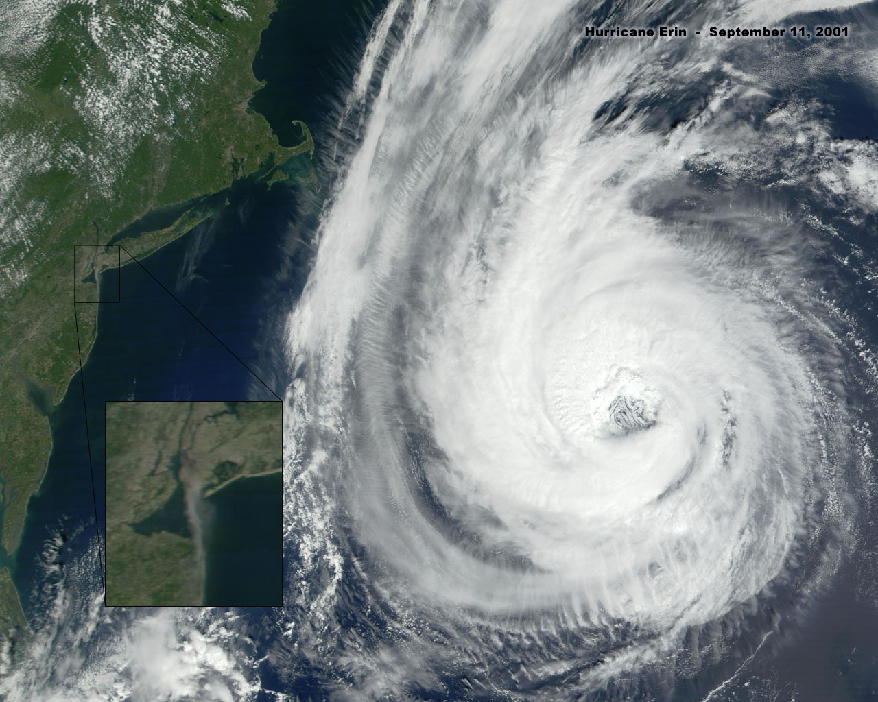 |
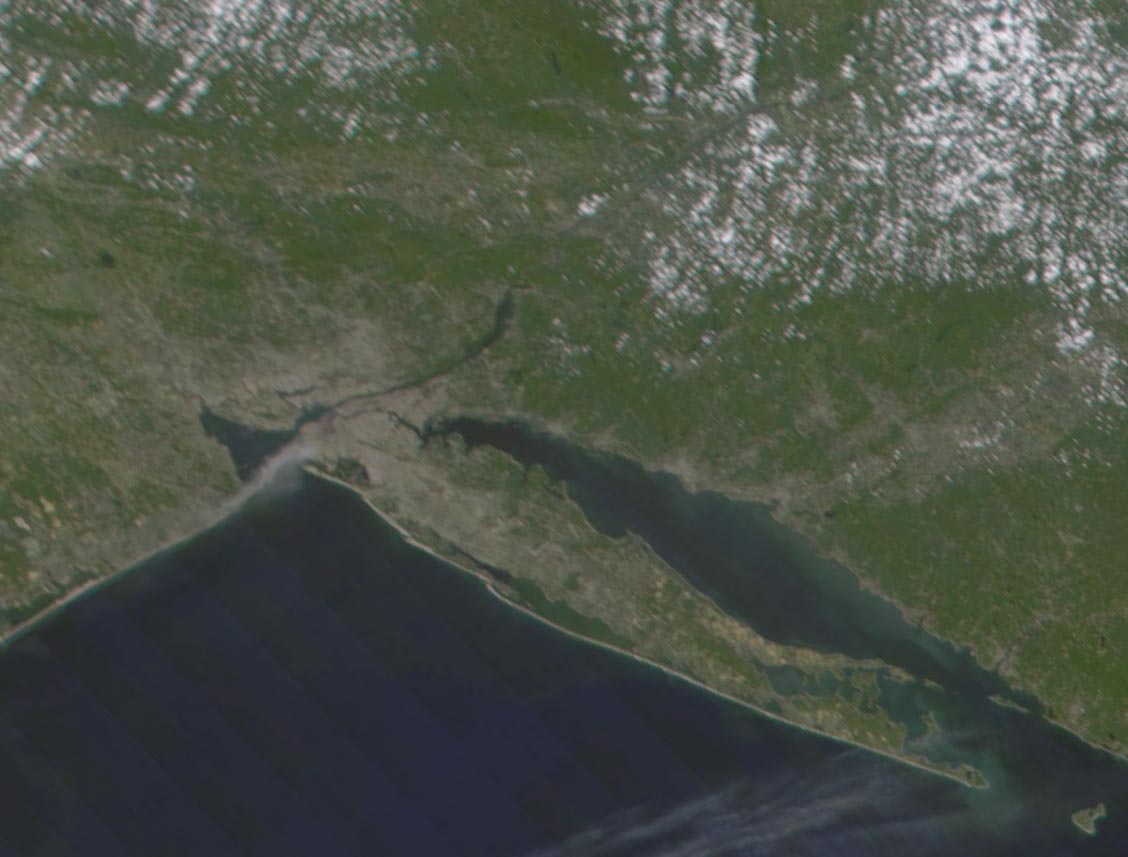
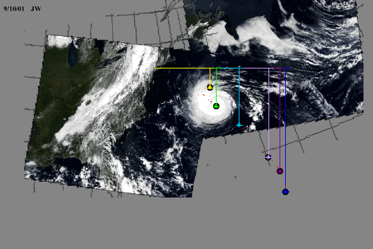
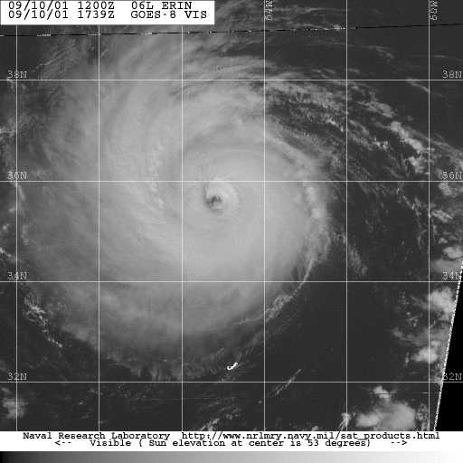
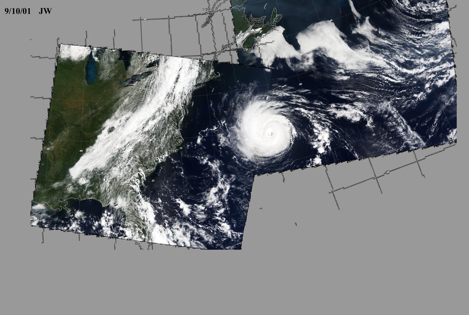
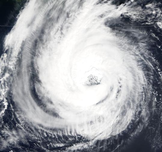
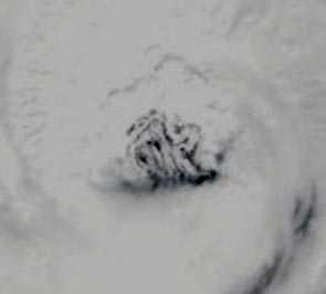
| Figure 1. (9/11/01) Source:, (9/11/01) Original Image: (more) |
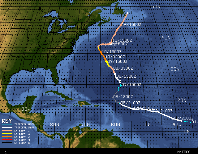 |
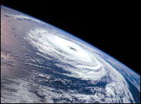
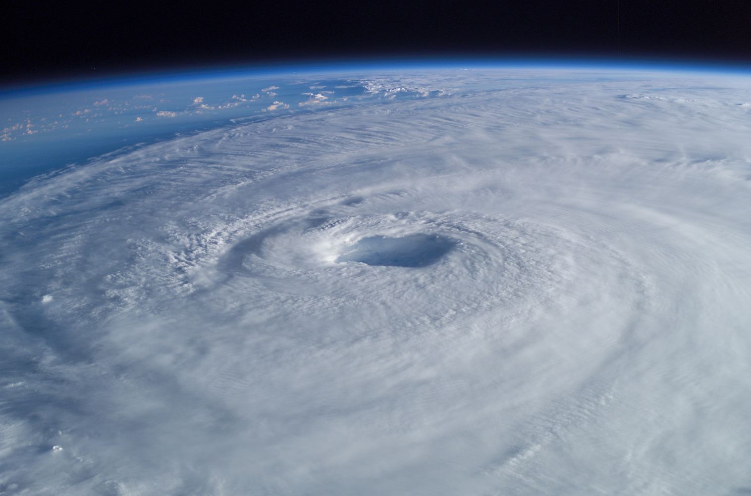
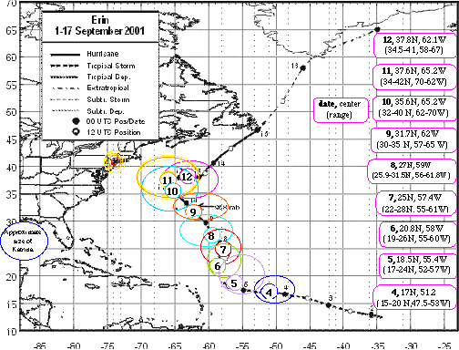
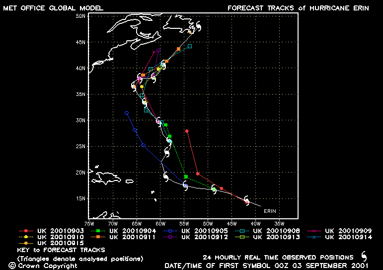
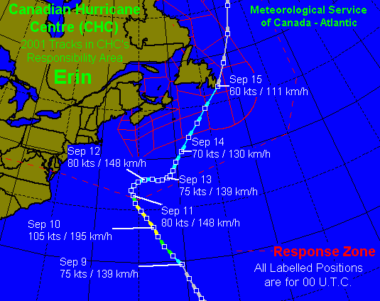
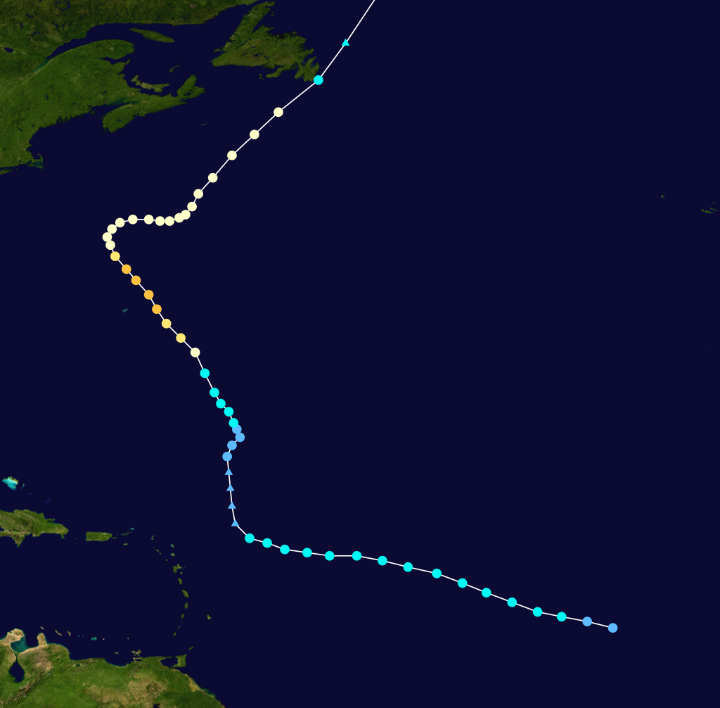
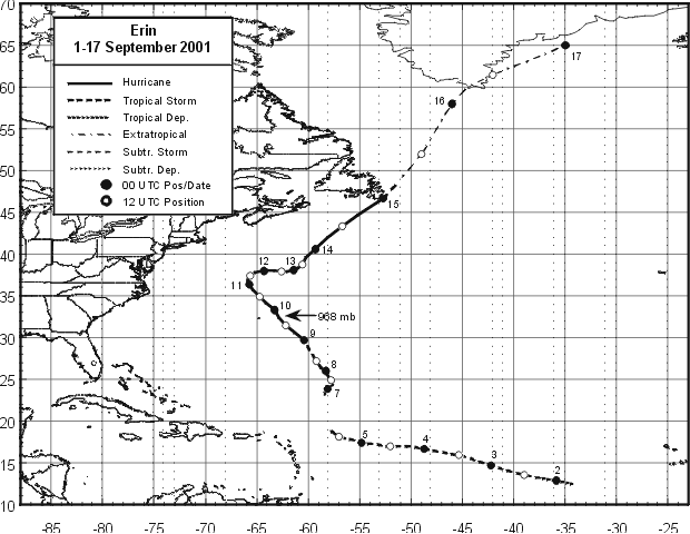
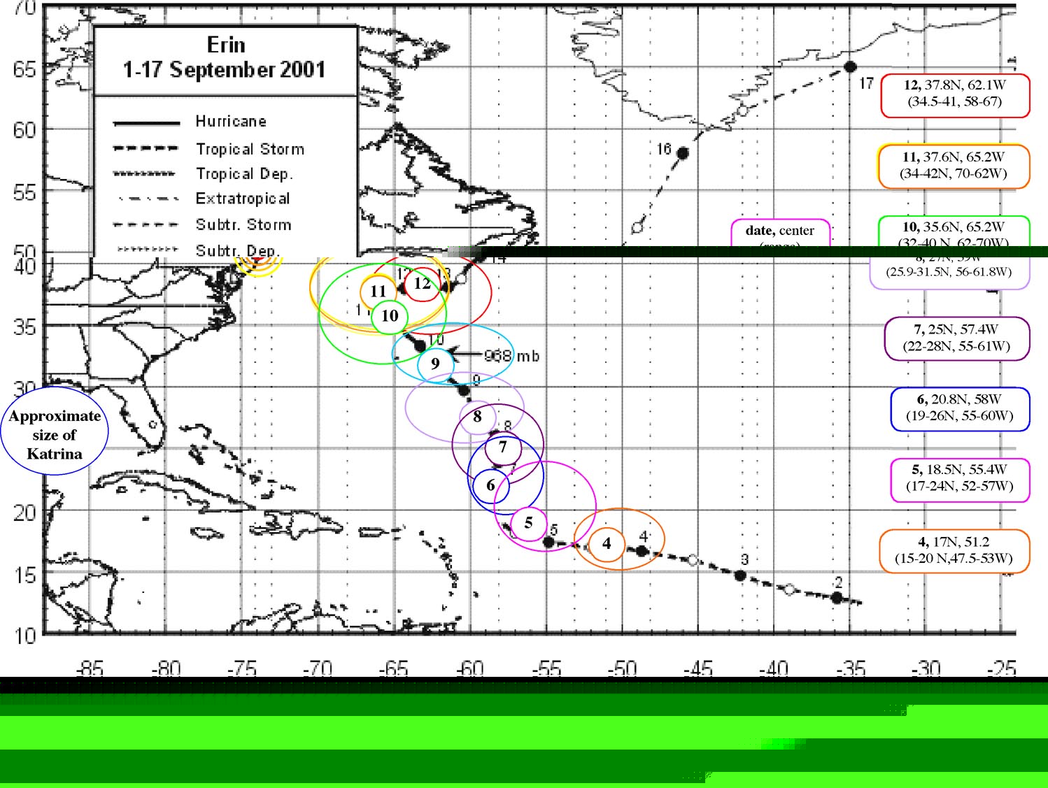
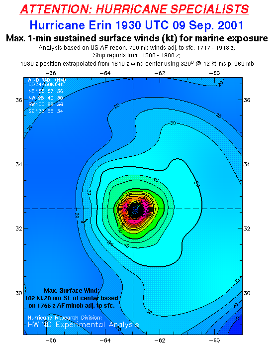
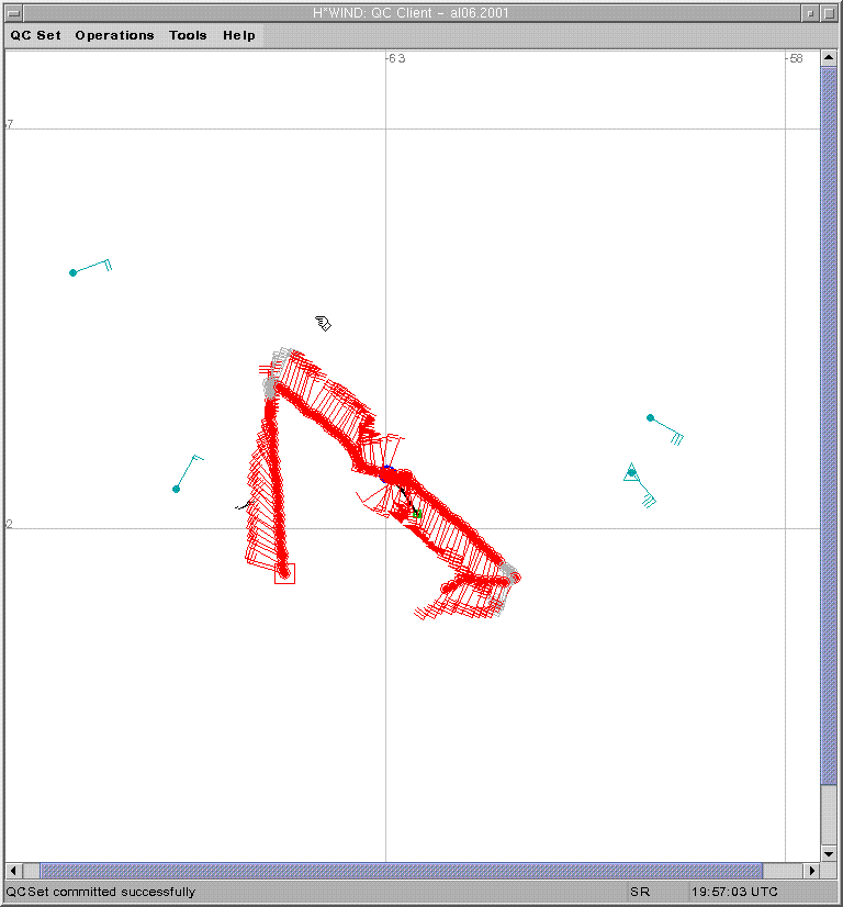
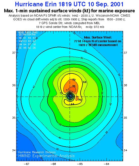
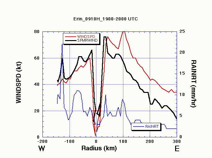
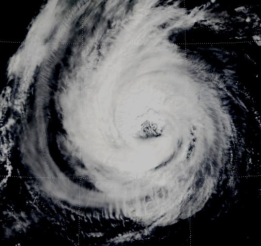
| Figure 2. Hurricane Erin track (atl.ec.gc.ca). Hurricane Erin was the closest to NYC on 9/11/01. Why didn't we hear about this in the morning news? Source: |
 |
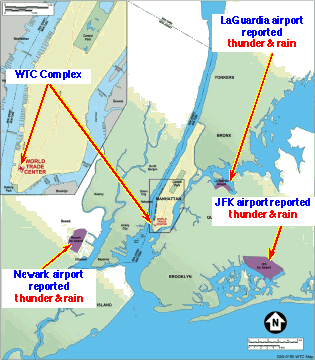  |
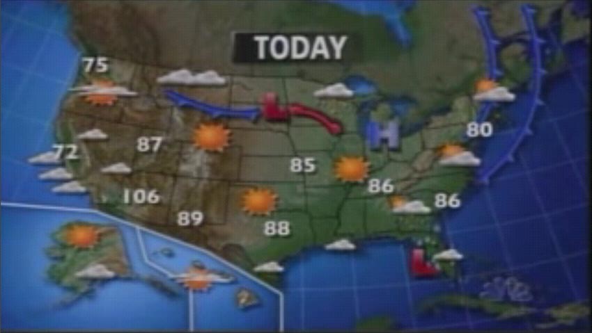
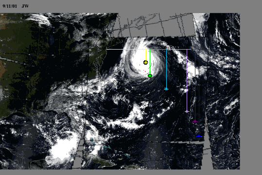
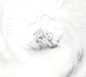
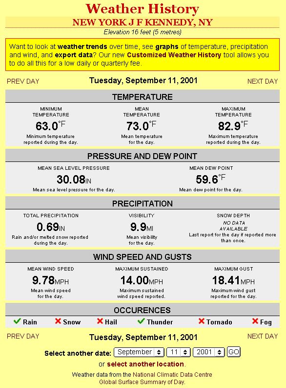
| Figure 3. Weather reported on 9/11, reporting rain and thunder at JFK airport. They don't mention wind direction or that the wind shifted direction by 180°. Source: |
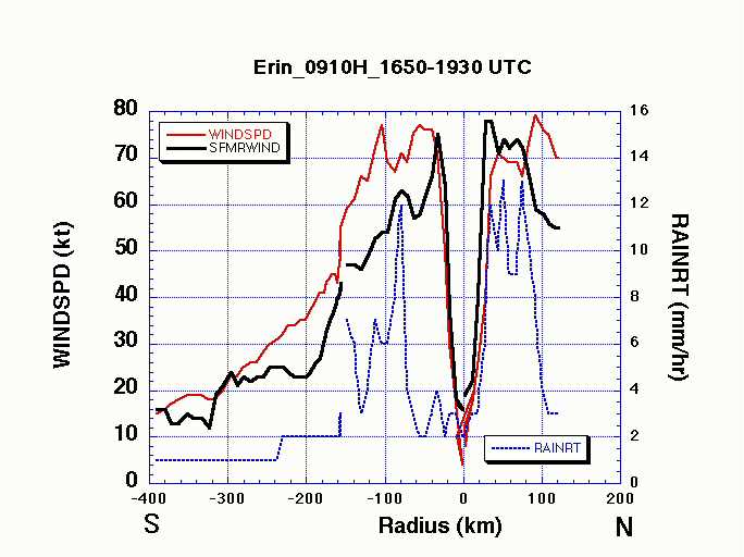
Figure 4a, 4b. Page 138 of 404 of pdf (labeled page 94 of report), http://wtc.nist.gov/media/NIST_NCSTAR_1-9_Vol1_for_public_comment.pdf Source: |